In 2007, Charleston drew Johns Island a different future. More than three hundred citizens helped write it. City Council adopted it. Then almost none of it became the rules that decide what gets built.
If you drive Maybank Highway today with a buyer in the passenger seat, you are driving through two islands at once.
One is the Johns Island that exists: subdivisions filling the low ground, strip retail at the big intersections, a daily crawl at Maybank and River, and enough new rooftops that the schools and ditches are still catching up.
The other is the Johns Island that was supposed to arrive with them. Compact village centers. Buildings pulled up to the street. Density that tapered as you left Maybank. A road network designed to spare the oak canopy instead of widening through it. At least 30 percent of new housing aimed at workforce paychecks. Streets described, on purpose, as “light on the land.”
That second island is on paper. Charleston City Council adopted it in November 2007 as the Johns Island Community Plan. Over three hundred people showed up for the charrette. Then, for years that became a decade and then almost two, the city never put the zoning teeth on that would have made the sketches enforceable. The Post and Courier later put it plainly: an excellent document that sat on a shelf while the island filled in under the old rules.
This is the story of that shelf. And of what buyers should actually underwrite when they fall for the oak tunnels anyway.
What the 2007 plan promised
The plan was not vague poetry. It was a growth manual for the land inside the Urban Growth Boundary, the portion of Johns Island the city and county had already agreed should take the suburban pressure so the rural west could stay rural.
Among the clearest recommendations:
- Form-based zoning instead of use-based sprawl. Build complete neighborhoods where the shape of streets and buildings mattered more than separating every use into its own cul-de-sac.
- Three gathering-place nodes along Maybank, with the highway itself reconfigured into “town and country” sections: walkable cores at the nodes, rural geometry between them.
- A traditional Four Corners at Maybank and River Road, buildings close to the right-of-way, left-turn lanes, trees, and pedestrians treated as users rather than afterthoughts.
- The pitchfork: new connectors north and south from the Gelegotis Bridge approach to River Road, so Maybank would not have to be blasted into a five-lane arterial through the canopy.
- Density that steps down the farther you get from the Maybank corridor, with low-lying river edges called out as unsuitable for neighborhood development.
- Affordable and workforce housing as a hard target: no less than 30 percent of new housing on the island.
Read the sketches and you can almost walk them. Tree-lined blocks. Mixed buildings. Transitions labeled by hand. A sea island that grows without becoming another interchangeable suburb with a prettier name.
Plans do not build houses. Zoning codes, capital budgets, and permit counters do. The Community Plan was a vision document. Without the follow-on code, it was a very expensive mood board.
What arrived instead
For most of the next decade, growth did what growth does when the vision is optional and the old zoning is already on the books. Subdivisions went in on parcels that had been zoned long before 2007. Commercial shells sat behind parking lots at Maybank and River, Maybank and Main. Drainage fights followed the rooftops. Residents who had packed the 2007 rooms watched projects land in places the plan had treated as the wrong ground for neighborhoods.
By 2018, even city hall was talking about a development pause. The editorial page said the quiet part out loud: officials had had eleven years to get Johns Island right, and the plan had done what too many Charleston planning documents do. Collect dust. Thousands of homes and dozens of businesses had already arrived while the infrastructure upgrades lingered in red tape.
The city never adopted the form-based code that was supposed to turn the charrette drawings into law. Without that code, density did not have to taper the way the plan said. “Light on the land” stayed a phrase. The 30 percent affordable target never became the operating rule of how Johns Island got built.
The pitchfork that lost a tine
Traffic is where the gap between the drawn future and the lived one is easiest to feel.
County voters had already approved money in 2005–2006 to widen Maybank. The Community Plan offered a different answer: keep the canopy, build the pitchfork. The county eventually shifted toward that idea. Then the budget and the politics did what they always do. Money got spent resurfacing and shoulder-widening. Federal funds wandered. The southern pitchfork fell out of the funded package. Plans for the northern connector sat for years in permitting and land-ownership delays.
On March 25, 2024, Charleston County and the city finally opened the northern pitchfork: a short connector from Fenwick Hall Allee over to River Road that lets roughly 2,500 cars a day skip the worst of the Maybank–River light. It helps. It is also one tine of a fork that was supposed to have three. The southern leg is still the unfinished half of the 2007 idea, still years and millions away whenever the next sales-tax package or earmark decides it matters.
Mark Clark / I-526 to Johns Island is its own graveyard of referendums and redraws. The Community Plan was written to work with or without that interchange. Nearly twenty years later, buyers still underwrite commute time the old-fashioned way: sit in it.
Pieces that did show up, late
Honesty requires the half-credits.
Charleston County and the city did eventually rewrite the Maybank and Main corridor overlays in a joint project that finished in 2020–2021. Those overlays are not the full form-based village system the 2007 plan sketched, but they are real rules that try to civilize the corridor after a decade of improvisation. A Johns Island recreation center and watershed restoration work are finally in the public-project pipeline. The northern pitchfork is open. Greenbelt money has bought acres that will not become lots.
None of that reconstitutes the future the charrette drew. It is maintenance on an island that already grew under different instructions.
What this means if you are buying on Johns Island
I sell this island with both eyes open. Buyers come for acreage, for Kiawah proximity without Kiawah dues, for the oak tunnels and the marsh light. Those things are still here. So is the gap between the brochure version of Johns Island and the one that has to function at 5:30 p.m. on a Thursday.
- Buy the drainage, not just the porch. Low-lying parcels near the rivers were flagged as the wrong place for neighborhoods in 2007. Some of them got neighborhoods anyway. Pull flood maps, ask about fill, and treat stormwater history as part of the inspection.
- Know whose rules you are under. City of Charleston and Charleston County still split the island. Overlay districts, STR rules, and permit paths are not the same across that line.
- Price the commute honestly. The northern pitchfork is a patch, not a rewrite of Maybank. School traffic and bridge backups still belong in your monthly cost of living.
- Do not confuse a master-planned amenity with the island plan. Private communities can be lovely. They are not the public village centers the Community Plan described for Maybank.
- Watch the next capital package. Southern pitchfork funding, Main Road work, and whatever replaces the old Mark Clark fight will move land values before the asphalt does.
The island that got built, and the one still for sale
Here is the part I will not romanticize. The 2007 Johns Island Community Plan was a serious, citizen-heavy attempt to grow a sea island without erasing it. Charleston adopted it. Then Charleston largely declined to enforce it. That is not a mystery villain story. It is the ordinary story of American suburbs: vision is cheap, code is hard, and vested zoning outruns both.
That gap still matters, because it tells you what was already known when the next wave of rooftops arrived. People knew the canopy was the asset. People knew density should concentrate and then taper. People knew low ground near the water was a bad place to pretend you can pave away the tide. They wrote it down. They voted for it. And then the island that got built was the one the old zoning and the old capital budgets knew how to produce.
If you are shopping Johns Island in 2026, you are not buying a failure. You are buying a place that still has marsh, oaks, horse pasture, and room that Mount Pleasant stopped offering years ago. You are also buying the consequences of an unimplemented plan: traffic that arrived before the network, drainage that arrived after the roofs, and a commercial strip that never became the four-corners town the sketches promised.
I will still put you under a canopy road and let you feel why people fight for this island. Then I will open the flood map, the traffic pattern, and the jurisdiction line, and we will buy the Johns Island that exists.
The other one makes a beautiful PDF.
Looking at Johns Island with clear eyes? Start with the Johns Island real estate guide, or tell me what you are trying to find.
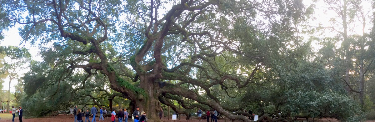
Hero photograph: Angel Oak, Johns Island, South Carolina, by MadeYourReadThis, via Wikimedia Commons, licensed CC BY-SA 4.0. Details drawn from the City of Charleston Johns Island Community Plan (adopted November 2007), Charleston County corridor-overlay project notes, and contemporary reporting from the Post and Courier and Charleston County on the northern pitchfork opening (March 2024). This post is for general educational interest and does not constitute legal, financial, tax, planning, or investment advice. Zoning, flood, and infrastructure conditions change; verify current rules and maps before relying on them. Jennifer Dane is a licensed REALTOR® in South Carolina with eXp Realty LLC. Equal Housing Opportunity.